Enhancing Climate Resilience
Funded by the Minderoo Foundation and undertaken in collaboration with the South East Councils Climate Change Alliance (SECCCA), the Enhancing Community Resilience Project set out to help nine Melbourne municipalities better prepare for current and future climate changes by supporting the building of community resilience to climate impacts.
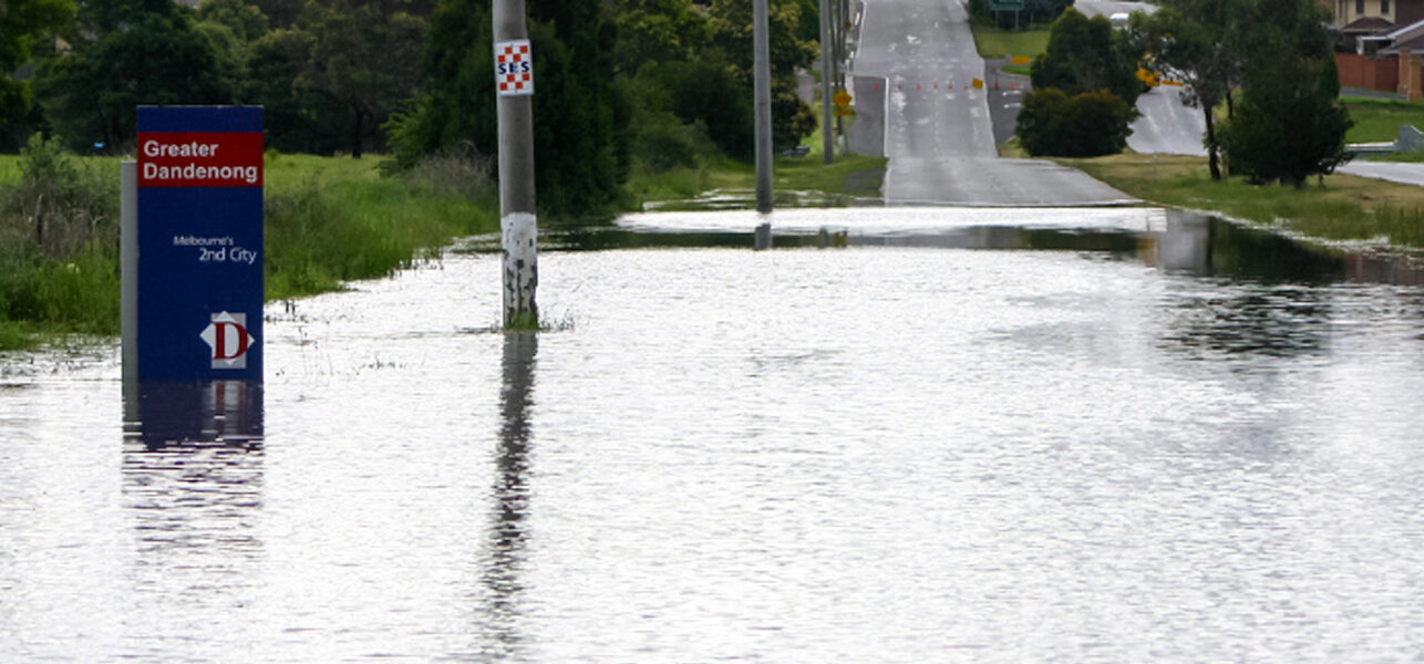
The impacts of climate, such as extreme weather events, are experienced by all in a community. However, it is often the most vulnerable in a community that experience the greatest impact and suffer lasting consequences after the hazard has abated.
A key step in the building of overall community resilience is to firstly identify and understand the characteristics of highly vulnerable populations. Expressive or qualitative measures, along with value-based metrics and climate data can be mapped and represented within a framework to quantify relative vulnerability in a community to climate impacts.
This was the basis of the work the former Spatial Vision team now operating within Veris, undertook in Phase 2 of this project, which then provided a foundation to the next phase of the project that involved co-designing the development of resilience responses with the communities.
The Challenge
Building community resilience to climate change is a complex, multi-dimensional task. Spatial sciences can assist in the planning of how to respond to impacts and support the recovery from such events. However, the issue of mapping community vulnerability is a still evolving space.
A key requirement is translating and mapping climate hazards and impacts and combining this together with concepts and definitions of a community. Within this, key components or factors that may exacerbate a community’s sensitivity to a climate hazard, or conversely mitigate the degree of impact, are fundamental.
Surrogates or alternative measures are often required to assess likely vulnerabilities in such an assessment. This project aimed to lead such a process and provide the groundwork for further developments in this challenging area.
The Solution
The study utilised the latest CSIRO and Victorian Government climate data, alongside IPCC Assessment Report risk frameworks, to establish a model for assessing community vulnerability to climate impacts.
The vulnerability assessment process used a conceptual framework connecting the key elements including:
- Vulnerable sub-populations
- Climate change events and hazards
- Key community components, services and infrastructure
- Broader community factors
- Broader capacity considerations
Working with SECCCA Member Councils and Community Service Providers, critical components influencing a population’s sensitivity to climate impacts were identified that considered both responsiveness to climate and potential impact moderation through capacity measures.
The vulnerability assessment produced a conceptual framework connecting core vulnerability considerations and employed a spatial analysis framework that was underpinned by standardised ABS geographic boundaries and demographic data.
The SECCCA-wide modeling produced vulnerability scores for 17 sub-populations, incorporating factors such as age, socio-economic status, ethnicity, housing, income and care requirements as key concerns. Outputs were presented in ESRI file geodatabase format, accessible through custom QGIS viewers and supported by Excel tabular views.
A geographic case-study approach was also applied enabling an assessment of vulnerable groups to specific climate events. Four climate change scenario case-studies were developed supporting a nuanced approach to capacity factors, including institutional, ecological, and physical assets.
The assessment draws on previous community asset work where councils identified the service levels and reach provided by assets. This comprehensive approach aimed to provide a robust and adaptable vulnerability assessment method applicable at both regional and national levels.
The Benefits
The scope of work undertaken assisted SECCCA in several ways:
- A deeper understanding of vulnerability to climate impacts via a holistic modelling framework that links spatial analysis fundamentals with social science insights to map population climate vulnerability.
- A Vulnerability Assessment Methodology that incorporates the role of community assets, inherent sensitivity factors, together with existing mitigating factors.
- Better community lead responses and government decision-making, including the provision of new or improved services and facilities for communities before, during and after extreme weather events.
- A Project Process Guideline to support replicating how a vulnerability analysis can be applied to different, defined geographic areas across Australia.
The Enhancing Community Resilience Project helped nine Melbourne municipalities better prepare for current and future climate change with a focus on identifying the groups most vulnerable to the impacts.